
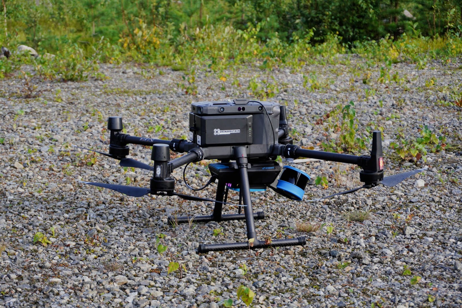
LiDAR mapping creates a flight exposure and a separate data-delivery responsibility. Give BWI a clear description of the product the customer expects and how the information will be used.
Describe the data handoff
Identify the customer, intended use, deliverables and acceptance process. Explain who sets reference systems, units and accuracy specifications. List customer-supplied inputs and outside processing services. The review should show where the operator’s work ends and where a surveyor, engineer or other professional takes responsibility.
Review different claim types
An aircraft accident, damaged sensor and allegation of inaccurate data require separate questions. Ask whether the proposed professional services description matches the contract. Explain warranties, correction obligations and reliance by third parties. A customer’s acceptance of a file does not necessarily resolve later responsibility for its use.
Include equipment and qualifications
List aircraft, sensors, borrowed equipment and values. Describe operator experience and the qualifications of people interpreting or certifying results. For example, collecting a point cloud differs from promising a certified boundary survey. Supply sample contract language and report scope so the insurance review reflects the actual assignment.
Prepare the BWI review
Gather the service description, locations, property values, staff roles, agreements, current policies and factual claims history. Explain proposed changes and the date they will start.
Compare the actual limits, deductibles, exclusions, insured parties and activities. Ask which requested terms are accepted and what remains outstanding. Keep the final documents and reporting instructions with the business records.
Request a drone insurance review from BWI for the operation described above. Availability and terms require an individual review.
Continue Reading

