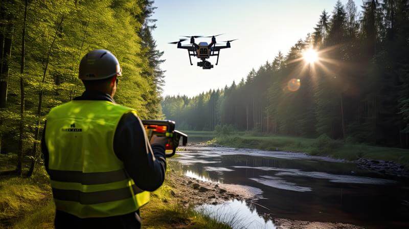
Drone surveying has become one of the most valuable tools in modern construction, engineering, and land development. Whether you’re creating 3D models, monitoring infrastructure, or performing volumetric analysis, drones make surveying faster, safer, and more precise. But with those advantages comes new risk, which is why drone survey insurance is essential for every professional surveyor.
Why Surveyors Need Drone Insurance
Surveying drones fly in demanding conditions, over active job sites, near heavy machinery, and often around high-value property. If a drone malfunctions or crashes, it can cause injury, damage, or project delays that lead to expensive claims.
Here’s why every surveyor using drones needs specialized coverage:
– Client Requirements: Most engineering and construction contracts require $1M+ liability coverage.
– High Equipment Costs: LIDAR and mapping payloads can exceed $25,000 each.
– Data Responsibility: Clients depend on your imagery and accuracy, insurance helps protect your professional credibility.
– Legal Protection: Coverage includes defense costs if you face lawsuits after an incident.
What Drone Survey Insurance Covers
A complete policy protects your drones, your business, and your reputation:
– Liability Coverage: Covers injury or property damage caused by your drone.
– Hull Coverage: Protects against crash damage or theft of your drone.
– Payload Coverage: Covers cameras, sensors, and surveying equipment.
– Personal Injury Coverage: Protects against privacy or reputational claims.
– Non-Owned Coverage: Covers rented or subcontracted drones used during projects.
How Much Does Drone Survey Insurance Cost?
At BWI Aviation Insurance, professional drone surveyors typically pay between $1,200 and $4,000 per year for full coverage. Smaller operations flying one or two drones may pay closer to $800 annually, while enterprise surveying companies may pay $5,000+ depending on risk.
Average premium examples:
– $1M liability + hull coverage: $1,500–$2,000 per year
– $5M liability for industrial work: $3,000–$5,000+ per year
Case Study: Land Surveyor Avoids Costly Downtime
A civil engineering firm in Colorado used a fleet of three drones for land surveys. During one project, a drone malfunctioned and clipped a power line, causing $14,000 in property damage and knocking out operations for two days.
Their BWI drone survey insurance policy covered all property damage and provided loss-of-income reimbursement. They kept their contract and maintained client trust without losing a dollar out of pocket.
Why General Business Insurance Isn’t Enough
General liability policies exclude aviation operations, meaning most traditional business insurance won’t cover drones. If your company uses drones for surveys, you need a dedicated aviation policy built to cover aerial risk.
Why Choose BWI for Drone Survey Coverage
BWI has been protecting aviation and drone professionals for over 45 years. Our team understands the risks unique to survey operations and provides coverage tailored for mapping, LIDAR, and photogrammetry work.
With BWI, you get:
• Multiple carrier options for the best rates
• Same-day certificates for new contracts
• Dedicated claims support from aviation experts
• Scalable coverage for multi-drone teams
Conclusion
Drone survey insurance protects the technology that drives your business, and the trust you build with every client. One mistake or malfunction shouldn’t cost you a contract, a drone, or your reputation. Fly confidently knowing your operations are fully covered.
Get your drone survey insurance quote today from BWI Aviation Insurance.
BWI Aviation Insurance | bwifly.com | (800) 666-4359
Continue Reading